


End of silos with the integration of GIS, AI, drones, and IoT into a single interface.
Neural networks taking on the burden of visual inspection, detecting everything from dengue fever outbreaks to industrial failures.
The management of critical infrastructure and territories has reached a tipping point. Today, we don't suffer from a scarcity of data, but rather from "informational obesity." The volume generated daily by IoT sensors, drones, and legacy systems is colossal. The real strategic bottleneck is no longer collecting data, but interpreting it coherently in physical space and over time.
Historically, managers have operated in silos: engineering uses 2D blueprints that quickly become outdated; IT monitors sensors on disconnected dashboards; and leadership consumes outdated spreadsheets. In the public sector, the urgency for a traceable digital transformation has been institutionalized by... MCID Ordinance No. 1,012/2025, which establishes the framework for Smart Cities in Brazil. The premise is clear: the formulation of public policies should be guided by georeferenced data.
But how do you inspect immense volumes of images or cross-reference endless spreadsheets without encountering human cognitive fatigue? The answer lies not in buying more isolated software programs, but in adopting a unified methodology, he points out. Fábio Augusto Pires Almagro, CEO of 4D View. THE Change is both cultural and technological. “Isolated data is just noise. That's why we developed the 4DMap methodology. We provide a mayor or industrial director with the ability to see the pulse of their operation in real time. It's not just about seeing a map, but about understanding how that asset behaves over the months, anticipating failures before they become losses or tragedies.”, the executive points out.
The Fourth Dimension and the Rise of Digital Twins
Cartographic evolution has migrated from paper to 2D GIS and, more recently, to static 3D modeling. However, the physical world is not a photograph; it is a film. Cities expand, industries operate in continuous cycles, and infrastructures degrade silently. It is in understanding this fluidity that 4DMap Enterprise introduces the strength of its architecture: the temporal dimension.
This integration allows the creation of so-called Digital Twins. Unlike a decorative electronic model, the 4DMap Digital Twin aims to be a dynamic replica, updated at high frequency, that allows for the simulation of scenarios, the prediction of structural failures, and the monitoring of the progression of chronic events, such as erosion, irregular settlements, or the advancement of large-scale projects. Time acts as the foundation for answering fundamental governance questions: what happens? Where does it happen? When did it happen? And, most importantly, how to optimize the future?
Integrated methodology and state-of-the-art architecture
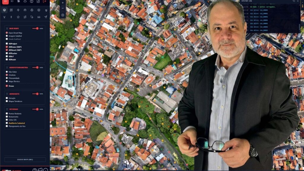
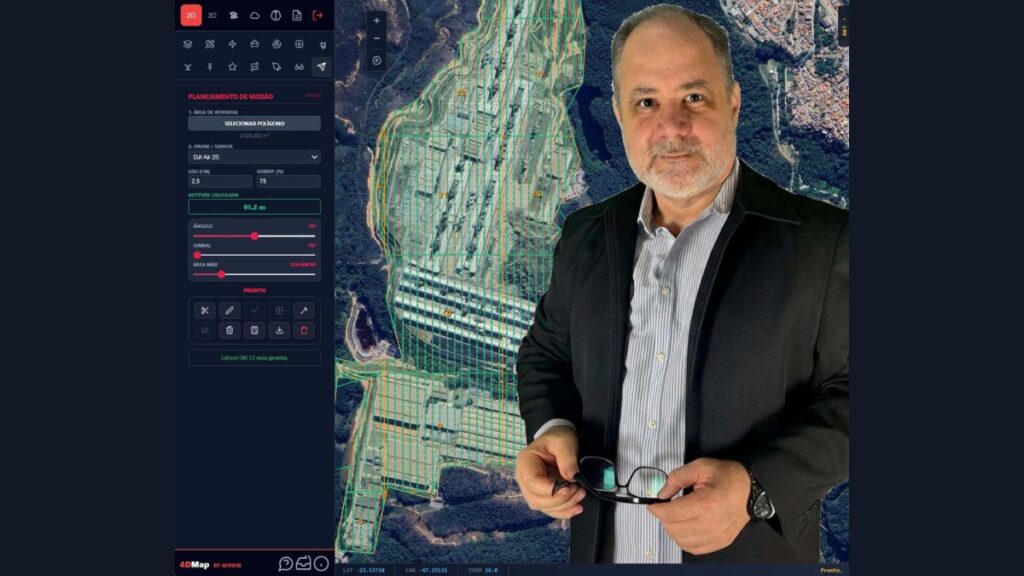
4DMap Enterprise centralizes GIS, aerial photogrammetry, IoT, and Artificial Intelligence in the cloud. The platform was built on deep interoperability:
- Core System: Advanced PHP for logic orchestration and asynchronous processing.
- 2D and 3D Geospatial Intelligence: Optimized use of libraries like Leaflet and Three.js to render fluid 3D models directly in the browser.
- Point Cloud Management (LiDAR): Integration with Potree, allowing you to slice and measure billions of light points.
- IoT Automation and Streaming: Webhooks via N8N for asynchronous injection of Computer Vision, and MediaMTX servers ensuring that sensors and cameras communicate with the platform with latency approaching zero.
According to Fábio Almagro, “a 4DMap's architecture is world-class and It was designed to democratize high technology. The manager doesn't need a supercomputer. They can access billions of light sources and photorealistic models from anywhere, via the web. We moved the complexity to the cloud to deliver simplicity and precision at the edge, where the decision is made.”.
Artificial intelligence, last-mile analytics, and immediate ROI.
The disruption lies in transferring the burden of visual inspection to neural networks. Through Computer Vision, AI scans images and detects anomalies such as degraded asphalt or dengue fever outbreaks. The module 4DInsights (MOLAP) It cross-references this spatial data with massive tables, correlating, for example, the irregular disposal of sewage with peaks in health hospitalizations within seconds.
Whether in the public sector or the private sector, the Return on Investment (ROI) provided by 4DMap Enterprise It's immediate, the CEO assures.
- In public administration: Combating tax evasion via property tax allows for slope monitoring by Civil Defense and the implementation of humane maintenance (4DAssist) via WhatsApp, which automates customer service protocols 24/7, among other features.
- In Industry 4.0: It provides thermal risk inspections without shutting down factories, performs accurate volumetric calculations of ore stockpiles, and integrates BIM to avoid collisions in structural renovations, among other activities.
According to Almagro, 21st-century governmental and corporate management can no longer operate with 20th-century tools. Centralizing previously separate ecosystems—GIS, AI, drones, and IoT—into a single entity is no longer feasible. single pane of glass (Modules such as 4DIoT and 4DTracker) have gone from being an innovation lab to becoming the backbone of modern operations.“4DMap Enterprise doesn't just display the world; it interprets it. For mayors, secretaries, industrial directors, and infrastructure leaders, embracing the Fourth Dimension is not just a technological choice, it's the guarantee of shielded, efficient, and irrevocably future-proof decision-making.”"He concludes.".